01
Orthomosaic Generation
High-resolution georeferenced orthomosaics for mapping and planning.
- Sub-2 cm ground sampling distance
- GCP-verified georeferencing
- GeoTIFF, ECW & web tile delivery
Engineering-grade geospatial analytics, orthomosaics, LiDAR processing, DSM/DTM modeling, contour generation and GIS intelligence solutions.
Projects Delivered
km² Surveyed
Sectors Served
Survey Accuracy
Drag the slider to see a real field's georeferenced orthomosaic become a colourised digital surface model, ready for measurement and design.
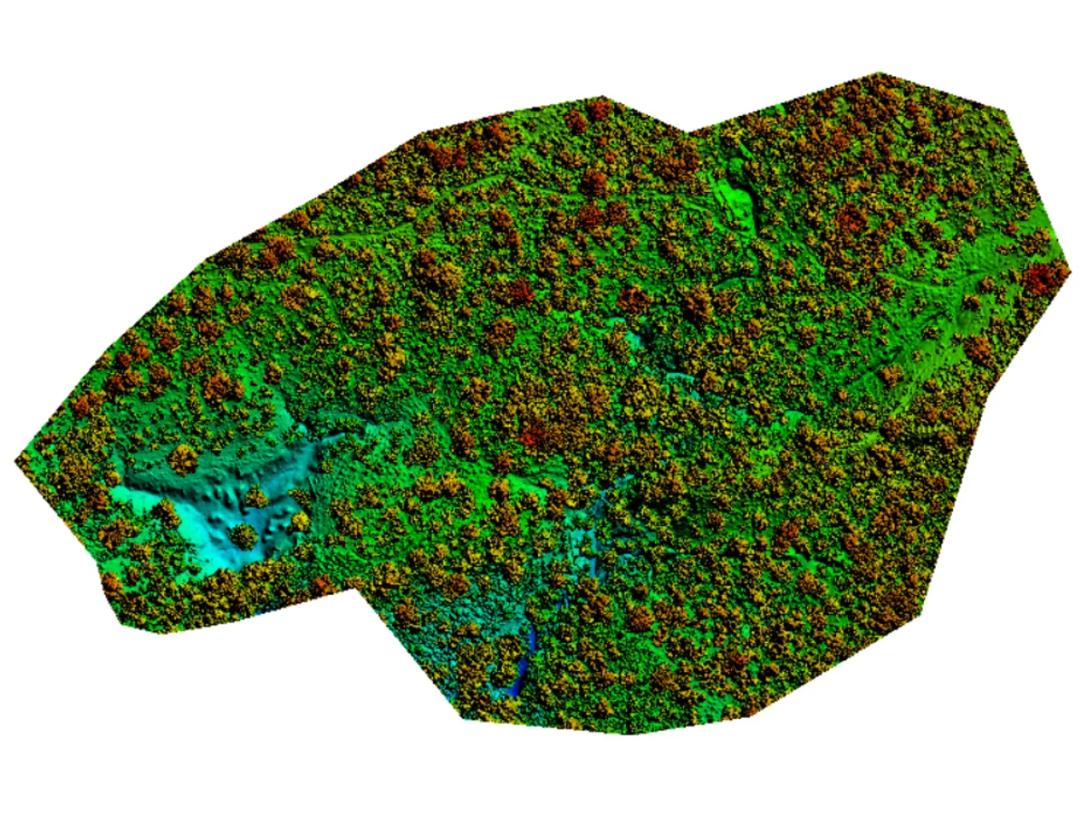 DSM
DSM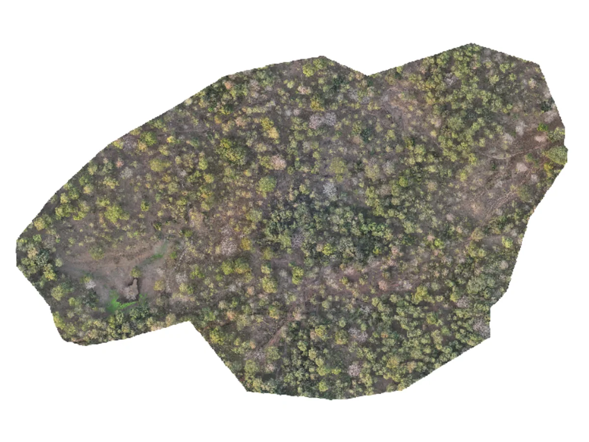 ORTHOMOSAIC
Ten engineering-grade services covering every stage from capture to decision support.
High-resolution georeferenced orthomosaics for mapping and planning.
Surface representation including vegetation and structures.
Accurate ground elevation extraction.
Engineering-ready contour generation.
Dense 3D reconstruction and visualization.
Spatial analysis and decision support.
Every project follows the same disciplined pipeline, so quality and turnaround stay predictable.
We securely receive your raw drone imagery, GNSS logs and ground control.
Photogrammetric processing, classification and rigorous QA against control.
We derive terrain models, contours, volumes and spatial analytics.
Engineering-grade outputs in your CAD/GIS formats, with an accuracy report.
From energy and infrastructure to forestry and government, our deliverables fit the way each sector works.
Send us your drone or survey data and receive engineering-grade deliverables, typically within 48 hours.